
Instrument Expert
Original factory packaging

Service Hotline:
(+86)010-52867771
Instrument Expert
Original factory packaging
Service Hotline:
(+86)010-52867771
Updated:2025-03-13
Views:3530
 WeChat
 QQ
QQ
 Online Service
 Product Manual
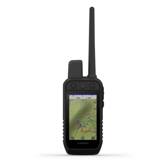
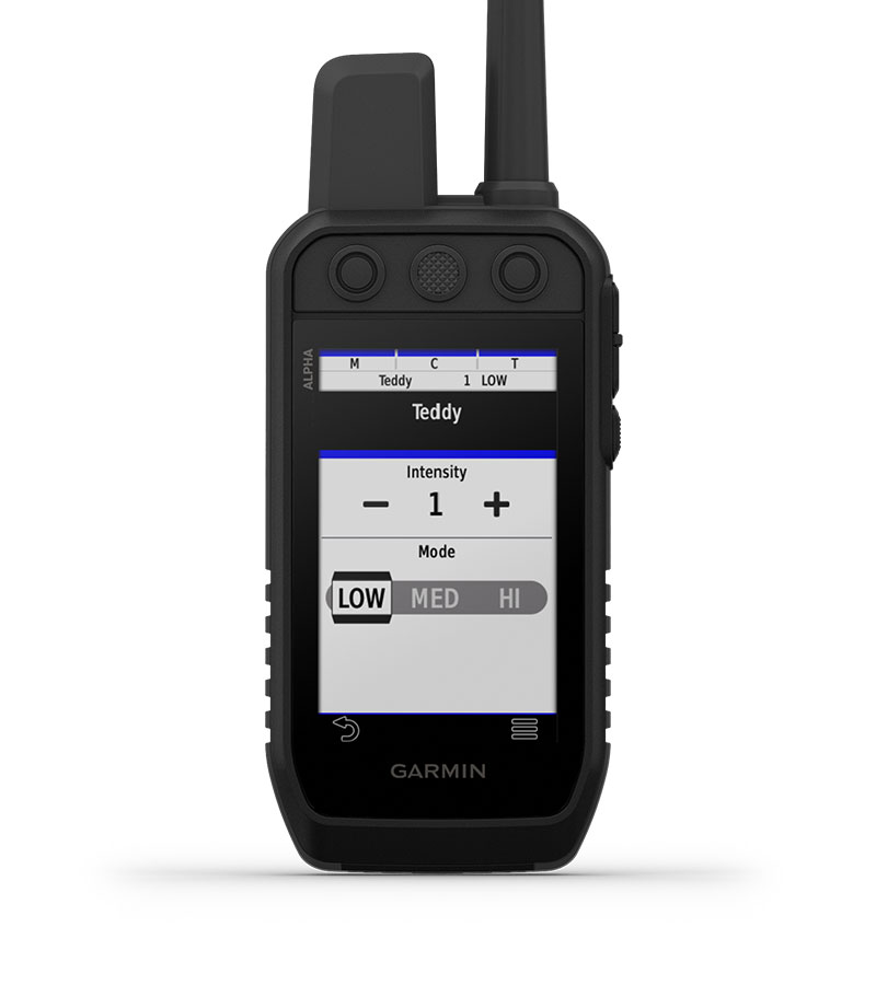
Sagebrush plateaus, rolling prairies, dense hardwoods, rocky ridges — no matter where you hunt, you and your dogs need reliable gear. Track and train your dogs in the field1 with the Alpha 300 handheld, featuring a new vivid 3.5” touchscreen and user-friendly 6-button design.
INTERACT WITH A RESPONSIVE TOUCHSCREEN AND BUTTONS.
TRACK AND TRAIN YOUR PACK IN THE FIELD1.
THE USER-REPLACEABLE BATTERY LASTS UP TO 55 HOURS.
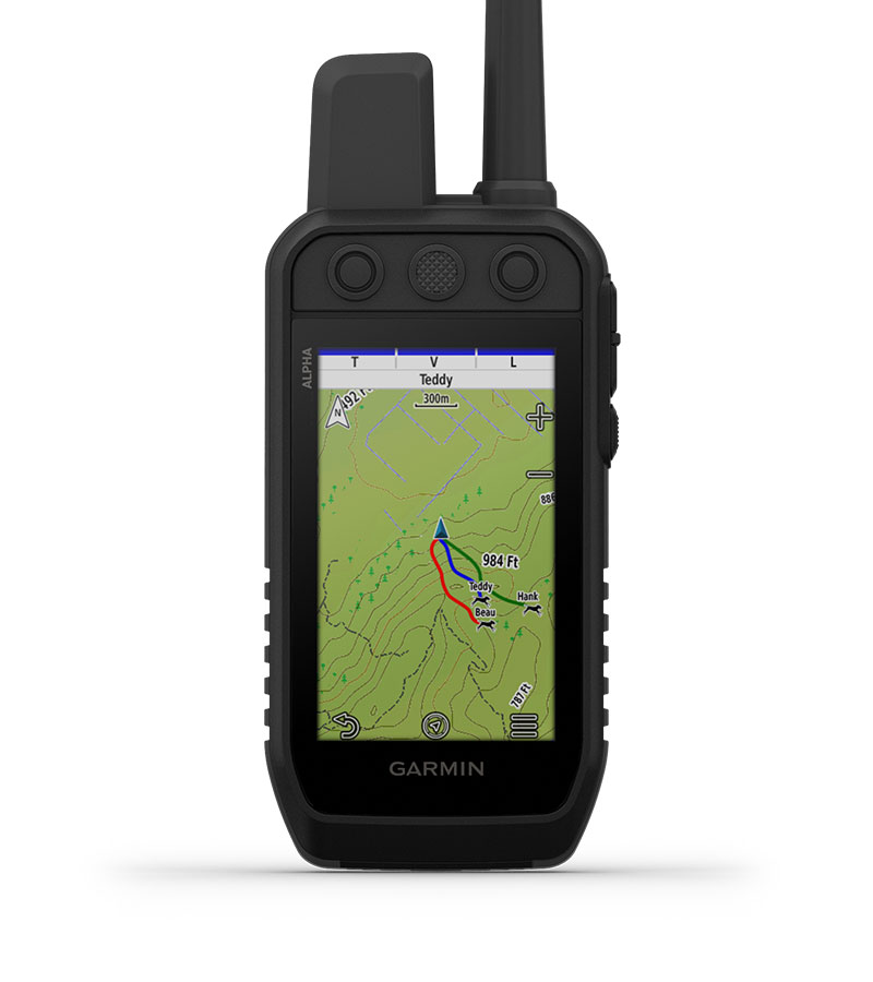
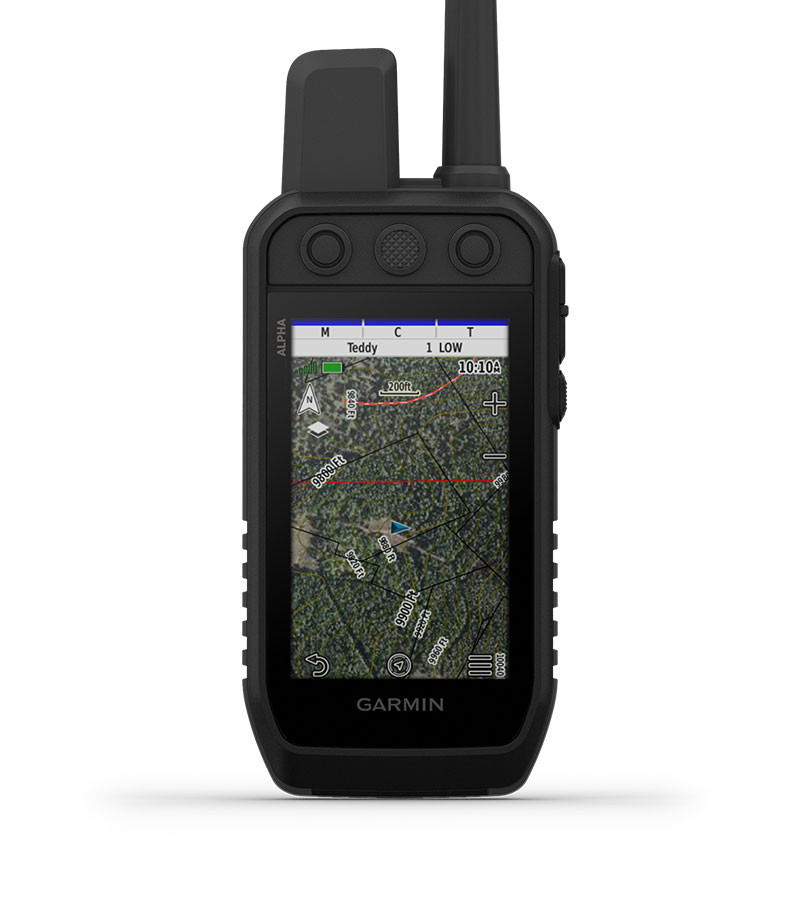
NAVIGATE WITH TOPOACTIVE MAPS AND DOWNLOADABLE SATELLITE IMAGERY.
LONG-LASTING BATTERY
The user-replaceable battery lasts up to 55 hours.
GROUP MANAGEMENT
Save time at the start of every hunt with groups of dogs and people that match how and whom you hunt with.
MONITOR THE HUNT
See when a dog is “treed” or “on point.”
GARMIN EXPLORE? APP
Pair with the Garmin Explore smartphone app to review the entire hunt and more.
BACKWARD COMPATIBLE
Easily pair the handheld to select T and TT? series collars.
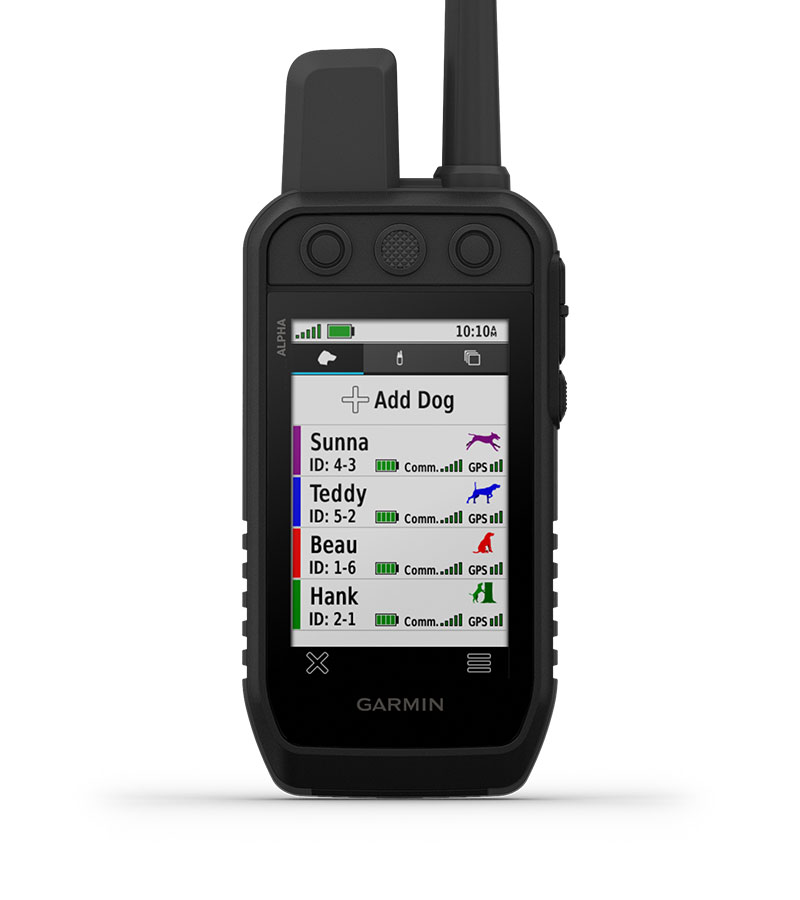
DOG LIST
Store up to 250 dogs, making it easy to switch active collars in the field.
MULTI-GNSS SUPPORT
Access multiple global navigation satellite systems for better service in challenging environments.
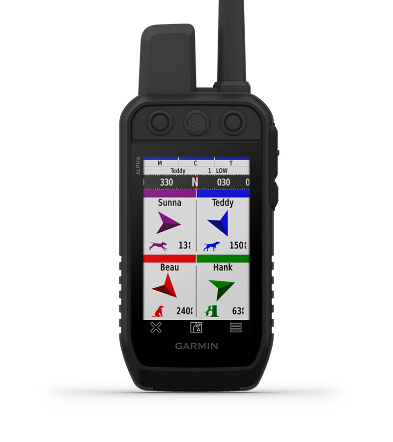
PRO VIEW COMPASS
This simple, at-a-glance tracking shows which direction and how far away your dogs are.
TOPOACTIVE MAPS
Get detailed views of terrain contours, topographic elevations, summits, parks and more.
PREMIUM MAP FEATURES
Subscribe to Outdoor Maps+, and get public land information, enhanced topographic maps, landowner names and more.
ALTIMETER
The barometric altimeter helps you accurately monitor ascent and descent.
3-AXIS COMPASS
Navigate with the tilt-compensated 3-axis electronic compass — whether you’re moving or not.
General |
|
| Dimension | 2.7 x 6.4 x 1.3” (6.8 x 16.2 x 3.4 cm) *dimensions do not include antenna |
| Weight | 9.9 oz (280 g) with standard antenna and battery |
| Waterproof | IPX7 |
| Touchscreen | ● |
| Display Type | transflective, color TFT touchscreen |
| Display Size | (WxH) 4.7 cm x 7.7 cm, 3.5" diag (88.9 mm) |
| Display resolution | 282 x 470 pixels |
| Battery type | rechargeable lithium-ion (included) |
| Battery life | up to 55 hours |
| Memory/History | 16 GB |
| Interface | high-speed USB |
Maps & Memory |
|
| Preloaded maps | yes (TOPOActive) |
| Ability to add maps | yes (see Additional) |
| Automatic routing (turn by turn routing on roads) for outdoor activities | Yes (with optional mapping for detailed roads) |
| Satellite Imagery | yes (direct to device; no annual subscription required) |
| External memory storage | microSD card (not included) |
| Waypoints/favorites/locations | 10,000 |
| Tracks | up to 20 assets (any combination of compatible dog devices and handhelds) |
| Navigation Track Log | 20,000 points, 250 saved spx tracks, 300 saved fit activities |
| Navigation Routes | 250 |
| Stored contacts | 250 dogs |
| Group management | ● |
Sensors |
|
| GPS | ● |
| Galileo | ● |
| Barometric altimeter | ● |
| Compass | Yes (tilt-compensated 3-axis) |
| High-sensitivity receiver | ● |
Outdoor Recreation |
|
| Sun and moon information | ● |
| Custom maps compatible | ● |
Radio Features |
|
| Frequency band | MURS |
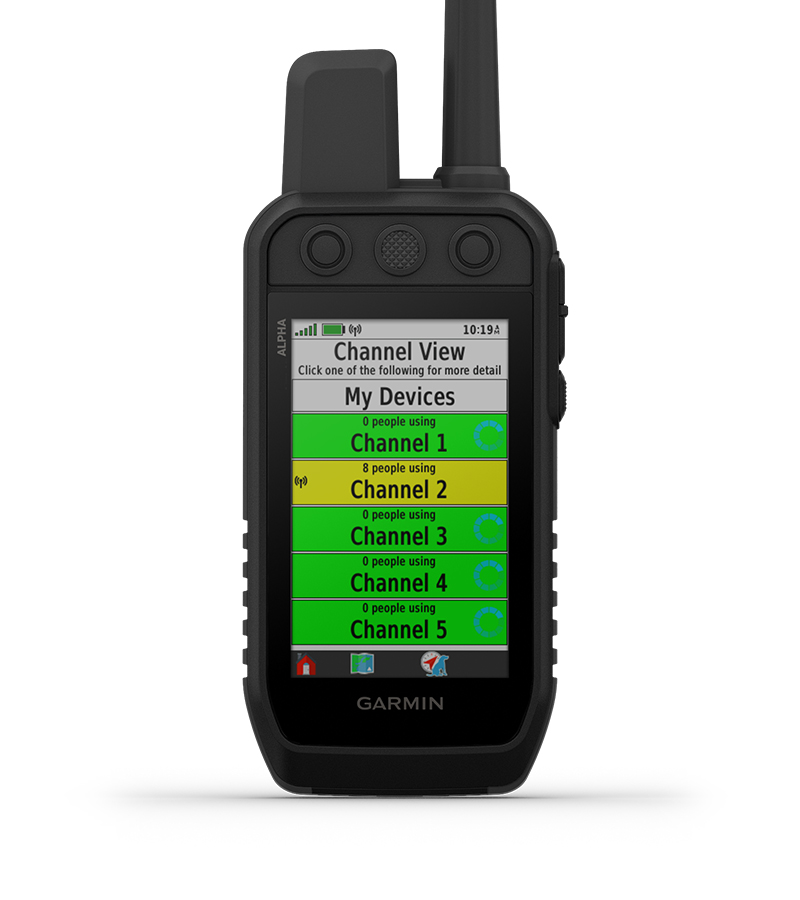
| Channels | 5 |
| Range | 9 miles with compatible dog devices |
| Location reporting (send and receive GPS positions) | ● |
| Vibration alert | ● |
| Contacts | ● |
Outdoor Applications |
|
| Compatible with Garmin Explore? app | ● |
| Garmin Explore website compatible | ● |
| Dog tracking | ● |
Connections |
|
| Connections Wireless Connectivity | yes (Wi-Fi®, BLE and ANT+®) |
Additional |
|
| Additional | Ability to add maps: yes (Outdoor Maps+) |
Customer Service QQ
Customer Hotline:
Technical Supports


 3003988120
 yiqi.com
 bio-equip.com
 b2bwork.baidu.com
 baidu.com